
Over the years many photos have been taken of Ballard from above, showing the development and change of our neighborhood and its surroundings. This week we thought we would share some of our favorite aerial shots of our neighborhood with you.
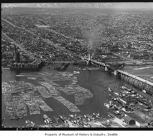
The black and white photo below, taken in 1940, features Ballard Locks and Salmon Bay as seen from the south. The first Ballard Bridge opened in 1917, crossing the Lake Washington Ship Canal and linking Ballard by road to Seattle. By 1940, the wooden bridge was determined to be too unsafe to carry the increased amount of traffic and was replaced by a newer, higher span bridge.
The photo shows the new Ballard Bridge crossing Salmon Bay. Check out the log rafts floating in the bay.
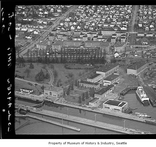
The black and white photo below, taken in 1949, shows Ballard Locks and Lockhaven Apartments as seen from the south.
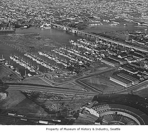
The black and white photo below, taken in 1950, shows an aerial view of Fishermen’s Terminal.
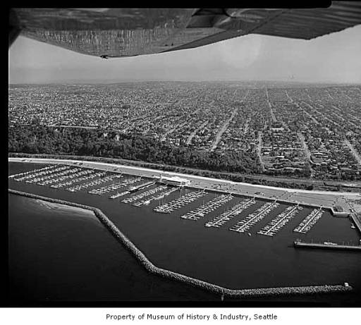
The black and white photo below, taken in October 1962, features Shilshole Bay Marina.
Photos and information courtesy of MOHAI.