City launches Shaping Seattle Map for finding construction permits

The City has just launched an online mapping tool that makes it easy to find construction permits anywhere in Seattle.

The Seattle Department of Construction & Inspections (SDCI) launched the mapping tool—called Shaping Seattle: Property & Building Activity—which is an interactive map that allows users to find active construction and land use permits and proposals subject to Design Review in each neighborhood.

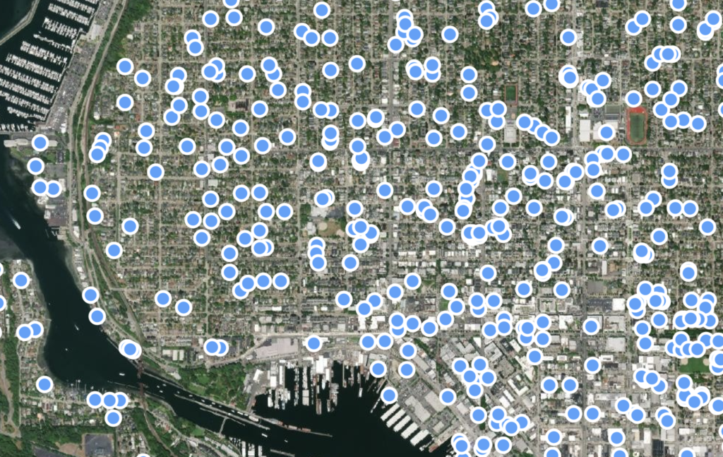
Hovering over Ballard shows a dizzying amount of construction proposals, ranging from apartment projects to townhouse construction and building modifications.

Each dot on the map has a detailed page that provides key information including information such as project images, descriptions, project milestones, links to related documents, and public comment options for land use projects. SDCI optimized the map for mobile use, so you can view nearby projects based on your current location.

Here’s a link to the map tool, which is updated regularly with new projects and proposals.

8 thoughts to “City launches Shaping Seattle Map for finding construction permits”

  1. So instead of working on the backlog of permits they spent their time and money creating a map of all the permits waiting for approval. Typical Seattle government.

    1. Nepotism brings us this. Lifelong “public servants” require something to do. Making people feel good about that crap sandwich is job # 1 here.

    2. So should they not have created the map?

      If you’re concerned about the timing of permits, you should talk to the mayor and your councilmembers about increasing the budget to hire more permit reviewers at SDCI. The budget and staff were cut during the last recession and never restored.

  2. Zoom the map out… there’s a “dizzying amount” everywhere, not just Ballard; nice editorializing. Take the time to look at these a little close, and many are “emergency spot sewer repair,” or other minor permitted operations.

Leave a Reply